
HISTORY OF ROORKEE

Roorkee is listed in the Ain-i-Akbari as a pargana under the sarkar of Saharanpur, producing a revenue of 12,234 dams for the imperial treasury and supplying a force of 1200 infantry and 125 cavalry. After that it was a part of Landhaura Princely State of Pawaar Gurjar‘s till 1824 when the Britishers occupied it by defeating the First Freedom Fighter Vijay Singh.

Before 1840, the city was a tiny hamlet consisting of mud huts on the banks of the Solani rivulet. Digging work on the Upper Ganges Canal formally began in April 1842, under the aegis of Proby Cautley, a British officer. Local works were designed and overseen by the engineer Thomas Login. Soon, Roorkee developed into a town. The canal, which was formally opened on 8 April 1854, provided irrigation waters for more than 767,000 acres (310,000 ha) in 5,000 villages.
Col. P.T. Cautley, an officer in the British Army, was most instrumental in constructing the canal. According to Dept. of Hydrology the canal, which is still considered as a marvel of engineering, was built in 1853. However, water was released in the canal on 8 April 1854.
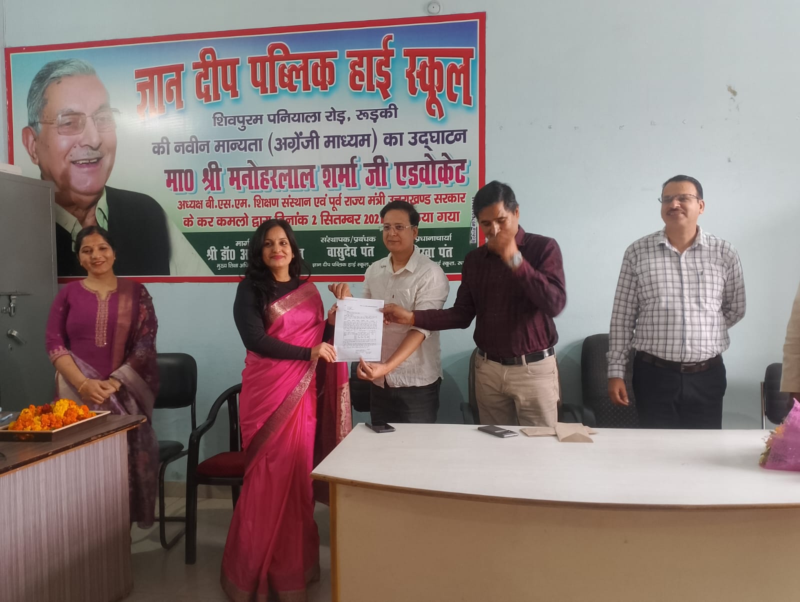
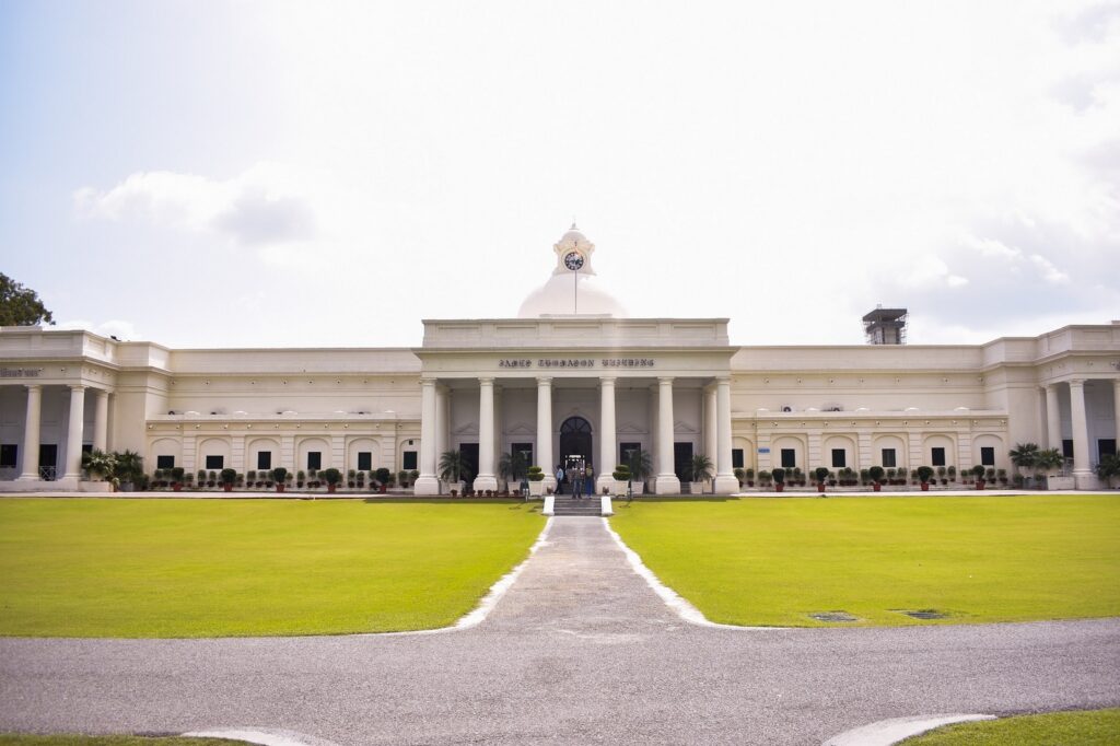
To look after the maintenance of the canal, the Canal Workshop and Iron Foundry were established in 1843 on the civil lines on the canal bank which is known as the Irrigation workshop nowadays. This was followed by the establishment of Civil Engineering School; classes started in 1845 to train local youth to assist in the civil-engineering work of the Upper Ganges Canal. This was to become the first engineering college established in India. On 25 November 1847, the college was formally constituted through a proposal by the Sir James Thomason, Lt. Governor of North-Western Province (1843–53). After his death in 1853, the college was rechristened as Thomason College of Civil Engineering. The college later upgraded to University of Roorkee in 1949; on 21 September 2001, through an Act of parliament, it was made one of the Indian Institutes of Technology, IIT Roorkee. In 1853 Bengal Sappers and Miners were stationed here which provided a controlling influence during the 1857 uprising. Other important events in the history of Roorkee include that under the Post Office Act of 1866, it was among the first few towns to have a post office and first telegraph office in the district. Now Roorkee has a General Post Office (GPO) and a number of post offices located in Roorkee City and Cantt. In 1886, Roorkee was placed on the Railway map of India. In 1907, first provincial trunk road Meerut-Roorkee-Dehradun was constructed. In 1920, Roorkee became the first town in Uttar Pradesh to have Hydroelectricity. History of Roorkee in Namaskar City
History of Roorkee in Namaskar City: India’s first aqueduct was constructed over the Solani river, near Roorkee, part of the Ganges Canal project, which itself was India’s first irrigation work in North India, started by the British. In 1851, the Solani Aqueduct Railway was built by Proby Cautley in Roorkee to transport construction materials for Ganges canal. It was operated by the Bengal Sappers. A steam engine, Jenny Lind, (specially shipped from England moved on rails in India), pulling a freight train ran in Roorkee on 22 December 1851, between Roorkee and Piran Kaliyar, 10 km (6.2 mi) from the city, two years before first passenger trains were started between Bombay and Thana in 1853 and 14 years after first freight trains ran in Chennai in 1837A replica of what the locomotive is thought to have looked like is exhibited at Roorkee Railway Station. The municipality of Roorkee was created in 1868. Now it is a Municipal Corporation. It had been home to the Bengal Sappers and Miners since 1853, and two artillery units were stationed there.
Roorkee is 184.3 kilometres (114.5 mi) north of the Indian capital, New Delhi, between the rivers Ganges and Yamuna close to the foothills of the Himalayas. It is 65 kilometres away from Dehradun (the capital of Uttarakhand), 30 km (19 mi) from Haridwar and 48 km (30 mi) away from Muzaffarnagar. Before the creation of Uttarakhand on 9 November 2000, Roorkee was a part of the state of Uttar Pradesh.
The city is located in the Roorkee plain which is composed of recent alluvium with a gentle slope. As per the census 2011, this region is spread over 129.88 km2 (50.15 sq mi).
Very short discription on geography of Roorkee in Namaskar City.

CLIMATE OF ROORKEE
humid sub Today, the Roorkee Cantonment has a large army base. The Bengal Engineering Group and Centre (BEG&C), are still there today. In 1901, when the city had a population of 17,197, it was made headquarters of the Roorkee Tehsil, in Saharanpur district of the United Province of the British Raj; the tehsil included in it 426 villages (of the parganas of Jwalapur, Manglaur and Bhagwanpur) and six towns, most important among them being Haridwar and Manglaur The Old Cemetery in the city is a protected monument, by the Archaeological Survey of India. Hence it is the begning of History of Roorkee in Namaskar City.

GEOGRAPHY OF ROORKEE
Roorkee is located at 29.87°N 77.88°Etropical climate (Köppen Cwa), typical of the northern Indo-Gangetic plain. There are three seasons. A sweltering, dry “hot” season begins in mid-March and extends until mid-June with steadily increasing humidity and discomfort. From mid-June until the end of September the southwest monsoon gives the “wet” season with a total of around 770 millimetres (30 in) of rainfall or about-four-fifths of the annual total. This monsoonal rain is accompanied by hot temperatures, very warm mornings, and extremely uncomfortable humidity. From early October the “cool” season begins as the monsoon retreats, featuring warm to very warm afternoons, cool mornings, and moderate humidity. Occasionally western disturbances between January and March will bring a little rainfall during this season, although the average total from October to March is only 145 millimetres or 5.7 inches.
Very short discription on geography of Roorkee in Namaskar City.
Edit and post by
Namaskar Team
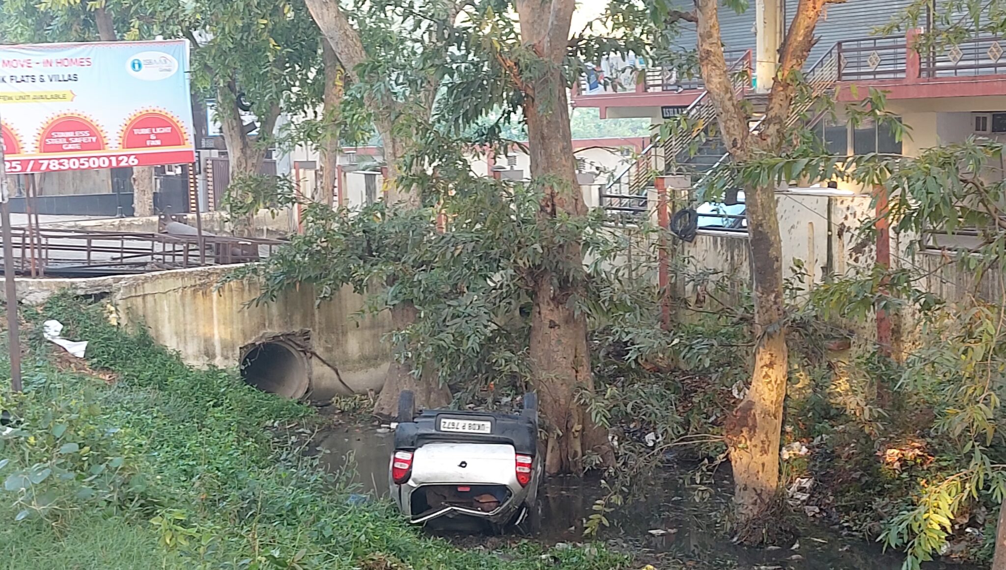
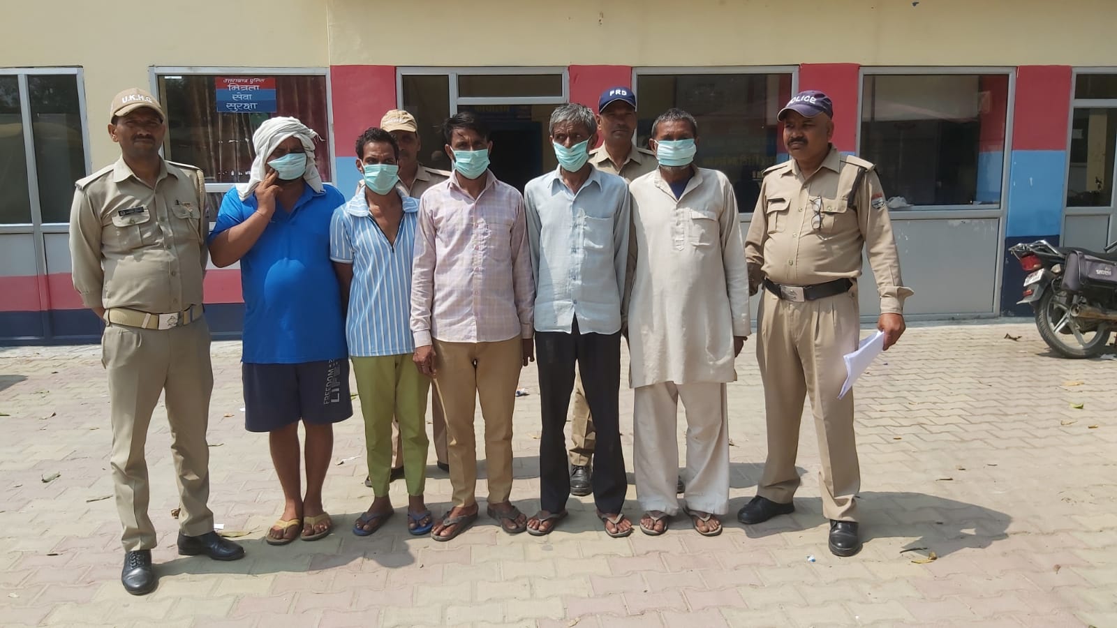
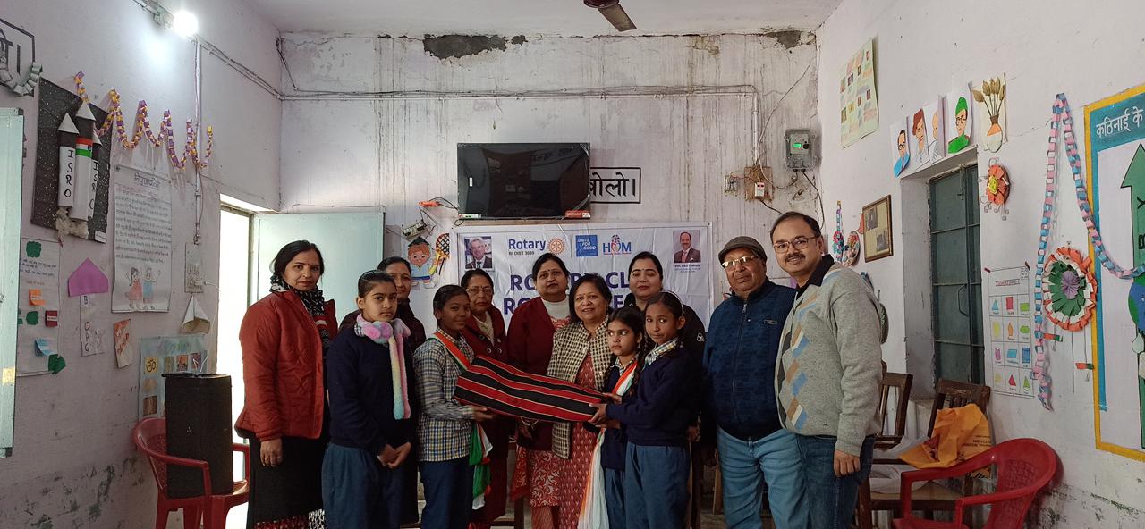
Roorkee